Up to 2 TB USB Memory Drive |

Up to 200 m AGL - Above Ground Level |

USB Camera Interface |

WiFi & GSM Embedded WiFi, Cellular Modem |

PPK/RTK Dual/Single GPS-Aided INS |

3-5 cm Point Cloud Accuracy |

0.37 kg Weight w/o LiDAR |

4 Watts Power Draw w/o LiDAR |
The RESEPI GEN-II featuring the OUSTER OS1-64 REV7 LIDAR brings a fully NDAA compliant system that one of the latest additions to the RESEPI family of products and is the result of years of market research and disciplined practice of the fundamentals of engineering. This surveyor’s dream is built for an unrivaled ability to be versatile in nature; serving and delivering the best in class data for a variety of use cases spanning aerial, mobile, and pedestrian based applications. Feature rich and intuitive workflows allow for confident and successful operation regardless of the size of the project at hand.
Use Cases for the RESEPI
Remote Sensing with LiDAR
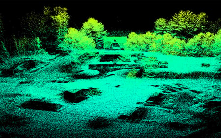
Sometimes called a 3D laser scanner, LiDAR is a surveying method that measures the distance to a target by illuminating the target with pulsed laser light and measuring the reflected pulses with a sensor. It has terrestrial, airborne, and mobile applications. Some models of 3D LiDAR can generate up to 700,000 data points per second. There are plenty of exceptional producers on the market, for example, Quanergy® and Velodyne®.
Scanning and Mapping
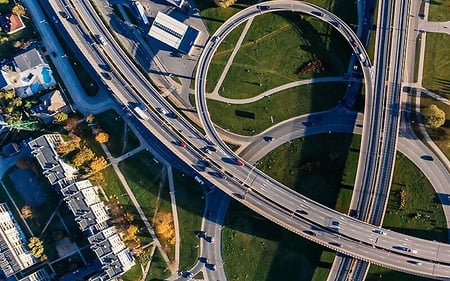
Perhaps area mapping is still the most significant domain for remote sensing. Making sense of the physical world by analyzing maps and 3D models allows businesses to make faster and more informed decisions that increase efficiency and profit and, more importantly, improve safety. A few of the most often used bases can be on our land vehicles or Unmanned Aerial Vehicles (UAV).
Precision Agriculture with LiDAR
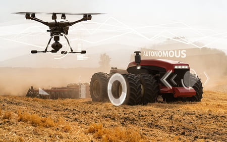
Perhaps area mapping is still the most significant domain for remote sensing. Making sense of the physical world by analyzing maps and 3D models allows businesses to make faster and more informed decisions that increase efficiency and profit and, more importantly, improve safety. A few of the most often used bases can be on our land vehicles or Unmanned Aerial Vehicles (UAV).
Simultaneous Localization and Mapping (SLAM) Algorithm Development
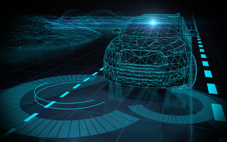
RESEPI can generate a point cloud in real-time. This feature, aiding imagery from other optical sources such as RGB and thermal cameras, can lay the foundation for SLAM algorithm development.
Utility Inspection
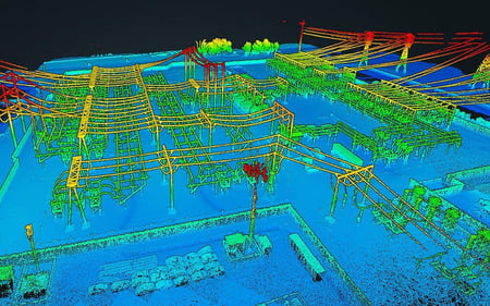
Drones equipped with LiDAR and Photogrammetry technology are a much cheaper and safer option when compared to other aerial scanning methods or manual inspection. With innovative LiDAR and Photogrammetry algorithms, users can reconstruct utilities and identify potential hazards and damages.
