Let us help you take your mapping and inspection capability to the next level.
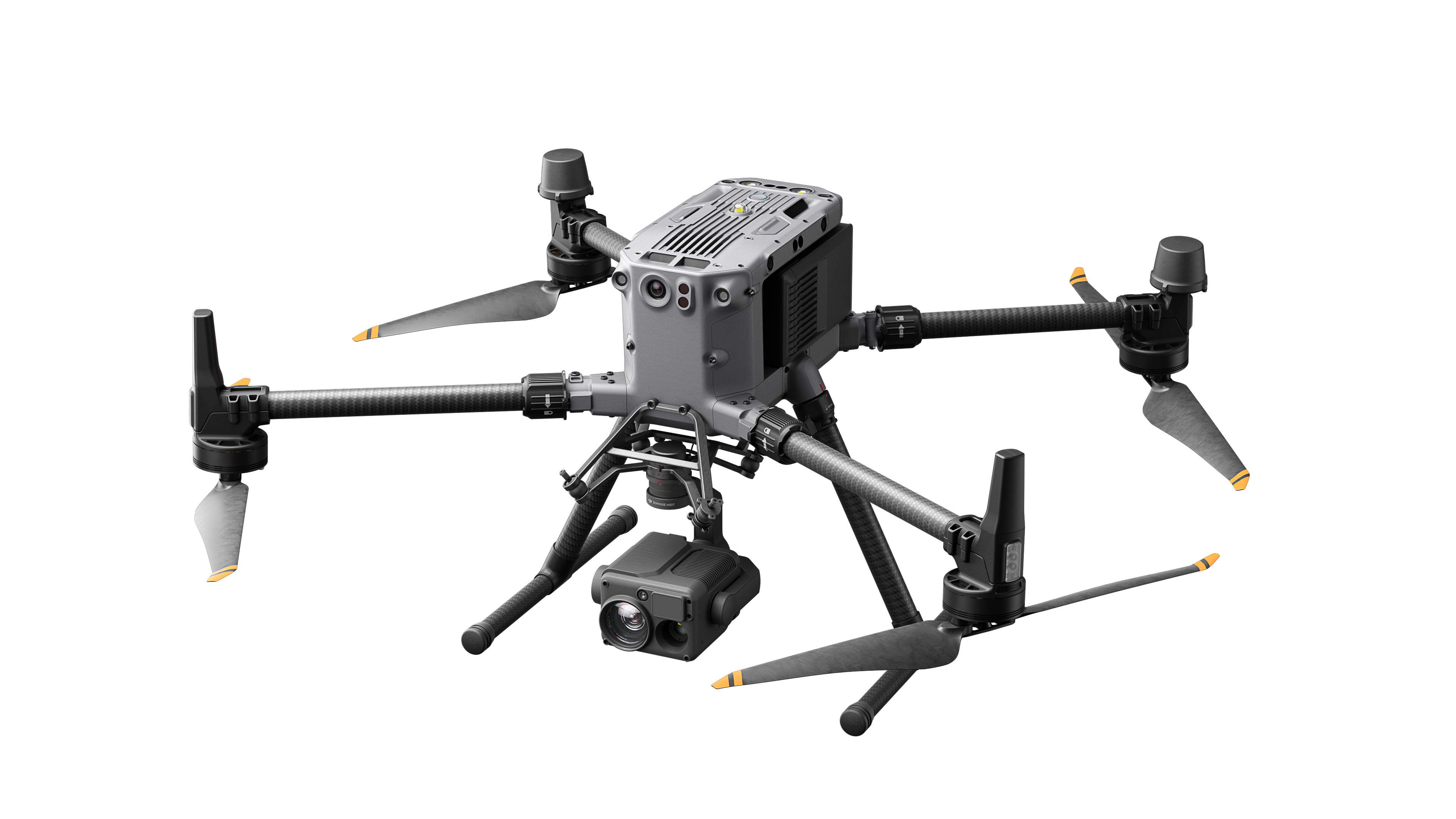
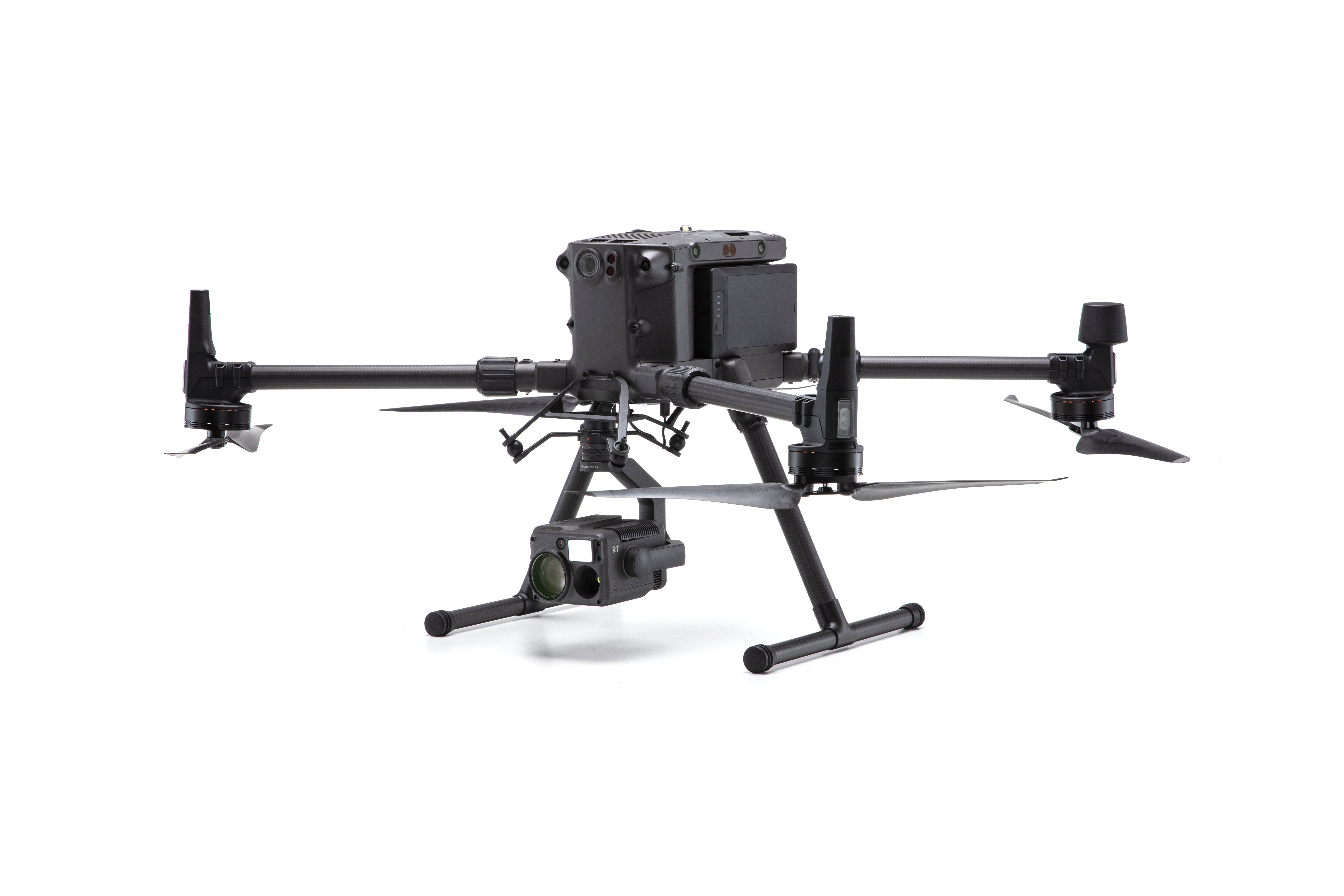
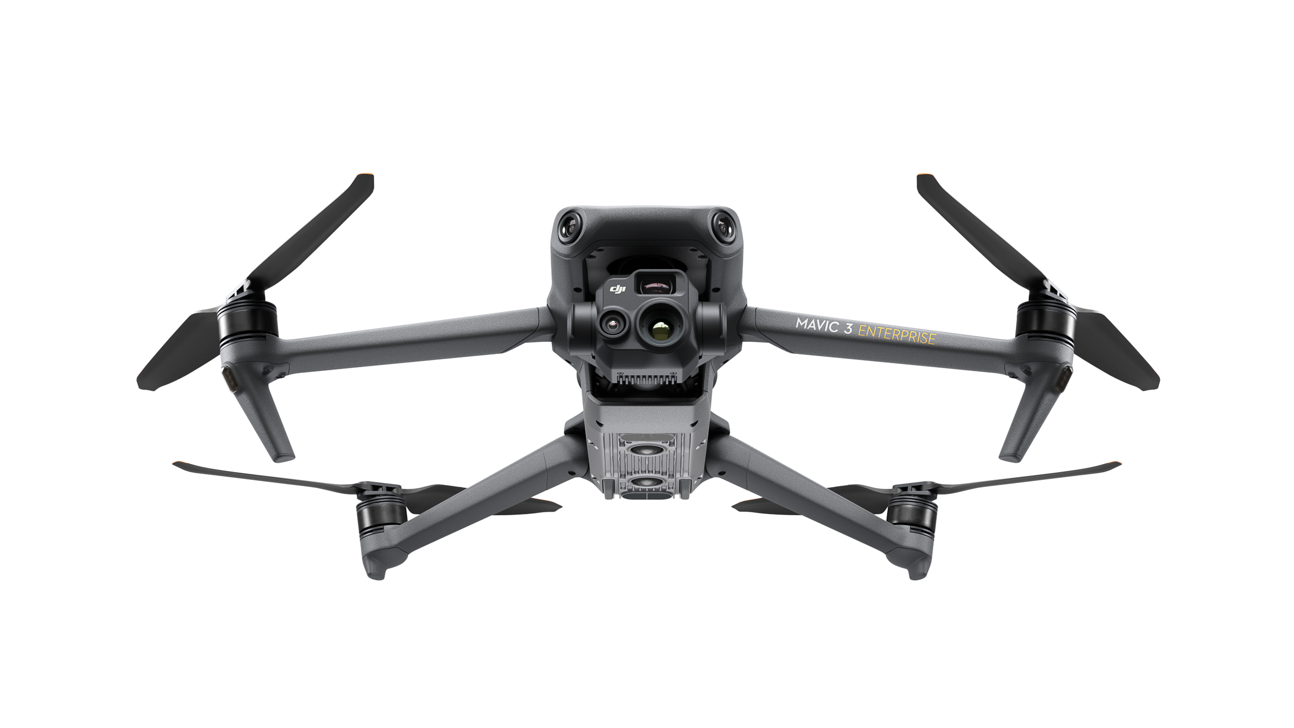
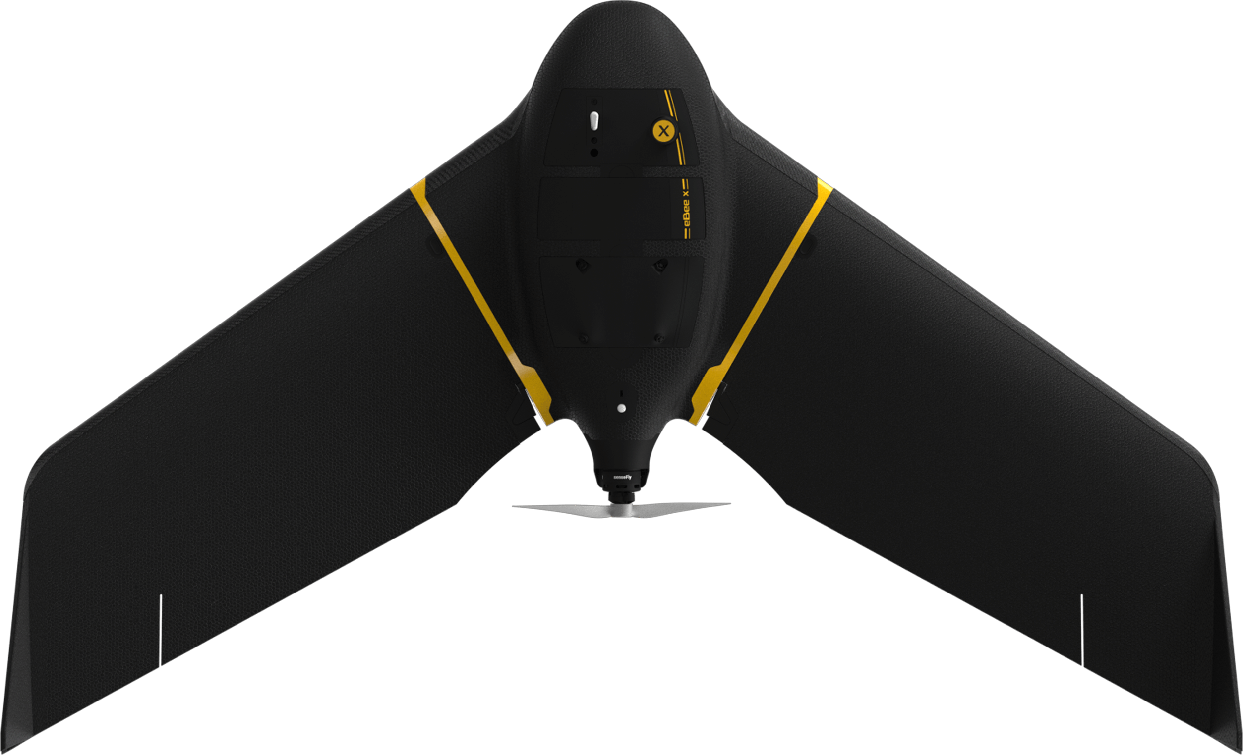
We have been on the forefront of bringing aerial solutions to the commercial market. Our UAV lineup includes both, multi-rotor and fixed wing aerial data collections systems and a variety of sensors for inspection, mapping and agriculture. Most packages include high-grade photogrammetry software, survey specific training and vehicle accessories. Flight mission and post-processing services are available.
Don't see what you're looking for? Give us a call. We have many other options.